LEADING EDGE MODELING TECHNOLOGY
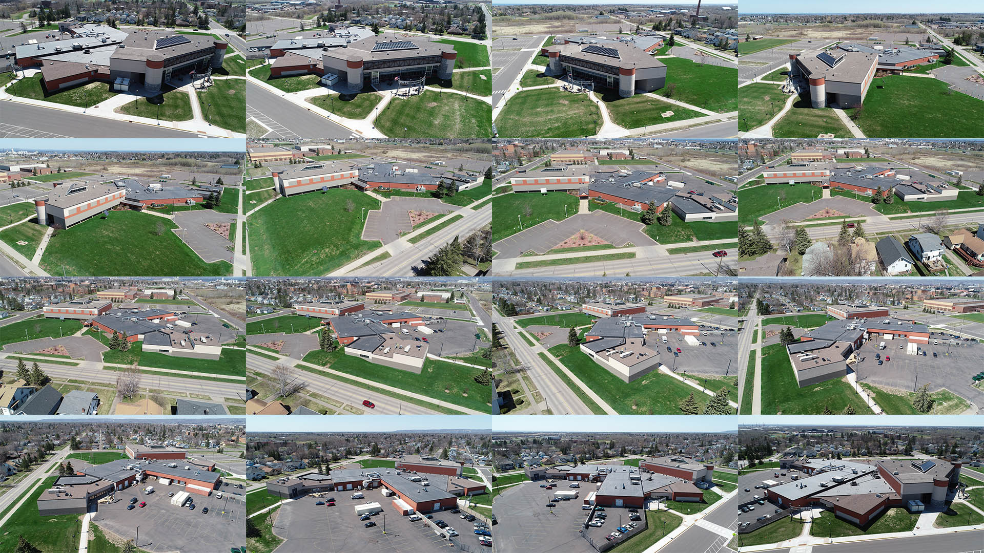
Photogrammetry is performed by taking many images of a scene from all different positions. Through triangulation specialty software has the ability to determine the exact location of each common point from the photos and translate this into a three dimensional "point cloud" CAD model. Photogrammetry is often used as a reasonable replacement for laser scanning. The same process is used indoors for large buildings. Photogrammetry can be a great tool for re-arranging large warehouses or manufacturing plants - inside or out. It is also a great construction tool. Recreating existing buildings into CAD format allowing designers a great starting point for changes and additions. There are many new and countless ways of using this cutting edge technology still being discovered in various industries each and every day
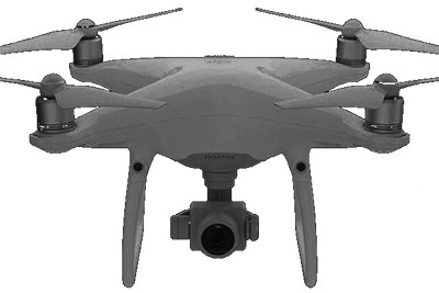
DRONE TECHNOLOGY
|
Applications |
|
|---|---|
| Warehouse Layout | Manufacturing Plants |
| Construction Projects | Presentation Video |
| Digital Modeling | Flyovers | Walkthroughs |
| Reverse Engineering | Advertising Materials |
High-Definition Drone Photography is an essential tool for photogrammetry services. BWI has an FAA licensed drone and operator with over a decade experience that can capture the hundreds of photos required to create a 3D point cloud of a specific area.